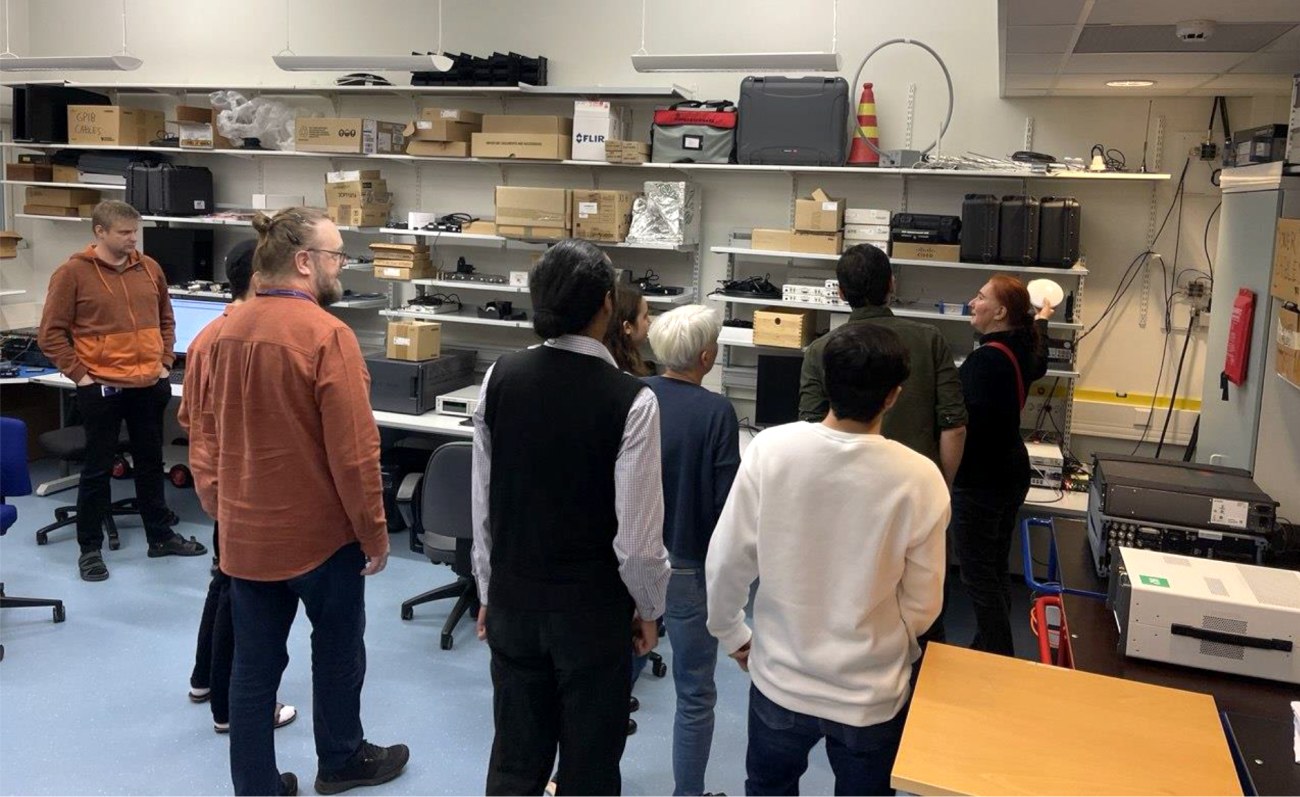
ROBOSAT Project Partners Unite in Tampere to Advance Autonomous Machine Localization

The Robosat project aims to revolutionize how autonomous robots navigate in the wild by integrating multi-sensor and multi-GIS data. During the Tampere workshop, partners from Tampere University (Finland), ETH Zürich, (Switzerland), Universitat de València (Spain), and CITST (Romania) discussed strategies for sharing data, identifying relevant GIS and GNSS datasets, and leveraging AI for autonomous labeling of large-scale data.
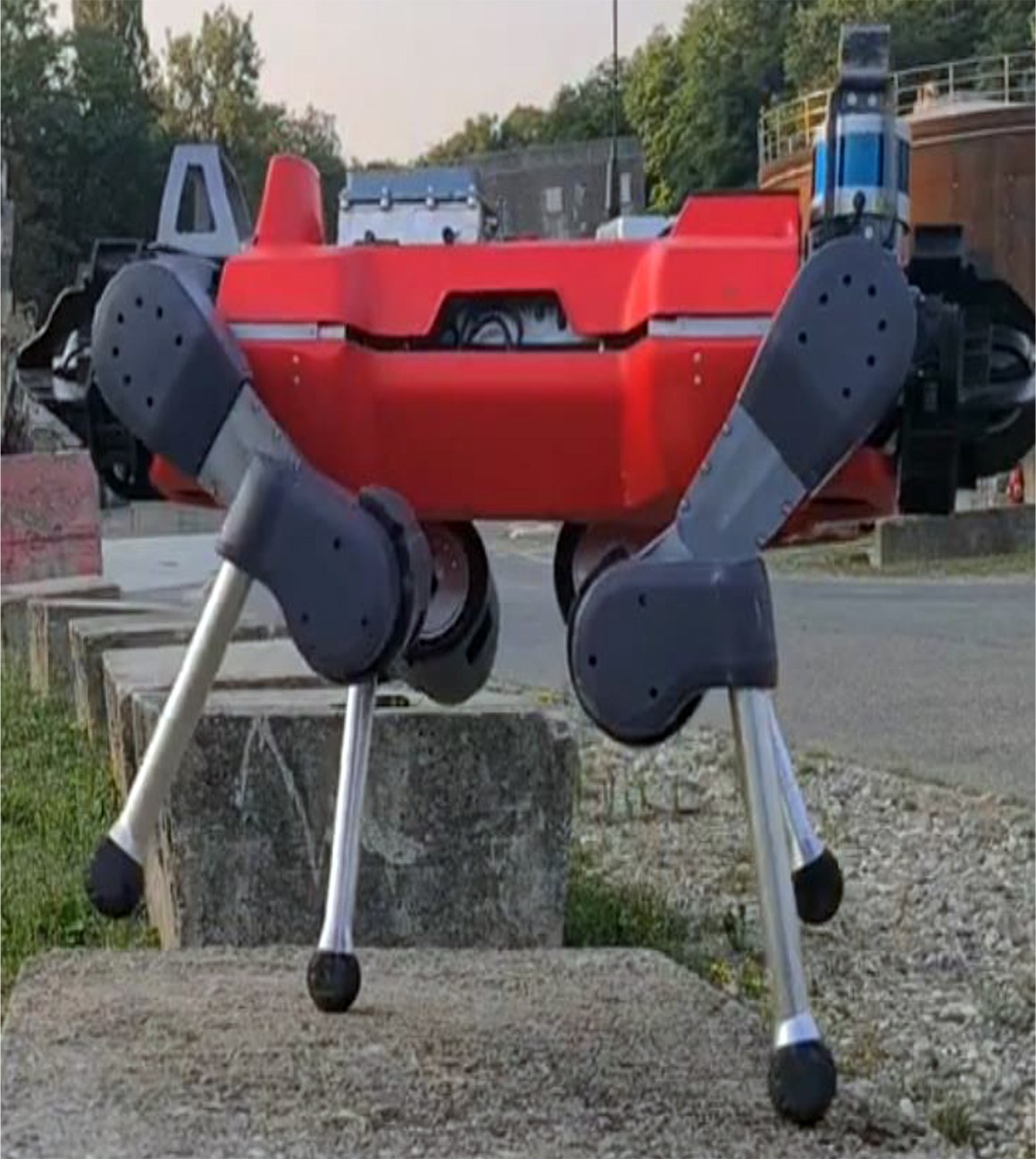
Key topics included the integration of multi-sensor and multi-GIS data to enhance positioning accuracy, planning piloting tests with ETH’s ANYmal robot and TAU’s new I/Q GNSS grabber device, and discussing methods for AI-driven data labeling for massive datasets collected during field trials.
The Tampere University project team is comprised by Professors Elena Simona Lohan and Jari Nurmi as supervisors and the PhD students Yelyzaveta Pervysheva and Muhammad Safi.
The Robosat efforts will enable more reliable and precise localization for autonomous machines, supporting applications in robotics, environmental monitoring, and industrial automation. By combining expertise across Europe, Robosat is paving the way for smarter, safer, and more efficient autonomous systems and aims at providing new open-access rich datasets to the research community. A first dataset enabling multimodal classification studies has already been published on Zenodo as a collaborative work between Tampere University and CITST teams (https://zenodo.org/records/17864507)
ROBOSAT project
Autonomous robot navigation in the wild using satellite-based 3D geographical information" (ROBOSAT) aims to provide a scalable MultiGIS high-quality data collection platform through the use of a quadrupedal robot that can autonomously perform long-distance missions in challenging environments, such as Alpes mountains or Finnish forests.
Consortium organizations are comprised of three-universities and one SME:
- Tampere University, Finland. Expertise: GNSS, wireless positioning, sensing, and communications, RF Fingerprinting and interference mitigation. Coordinator: Prof. Elena Simona Lohan
- ETH, Switzerland. Expertise: automation, mapping, control theory, and legged-robot research. PI: Prof. Marco Hutter
- Universitat de Valencia, Spain. Expertise: computer science, database management, machine learning. PI: Dr. Joaquin Torres Sospedra
- CITST, Romania. Expertise: machine learning/artificial intelligence, robotics, exploitation. PI: Dr. Irina Mocanu.
ROBOSAT – Tampere University
CHIST ERA https://www.chistera.eu/
Funding source
ROBOSAT is a project funded by European Union under CHIST-ERA ERA-NET program from the 2023 call on Multidimensional Geographic Information Systems (MultiGIS) as well as by the national research funding organizations of the participating countries: Finland, Romania, Spain and Switzerland.


